Candy Point Trail | Hike of the Week

candy point Trail
Coulee Dam, WA

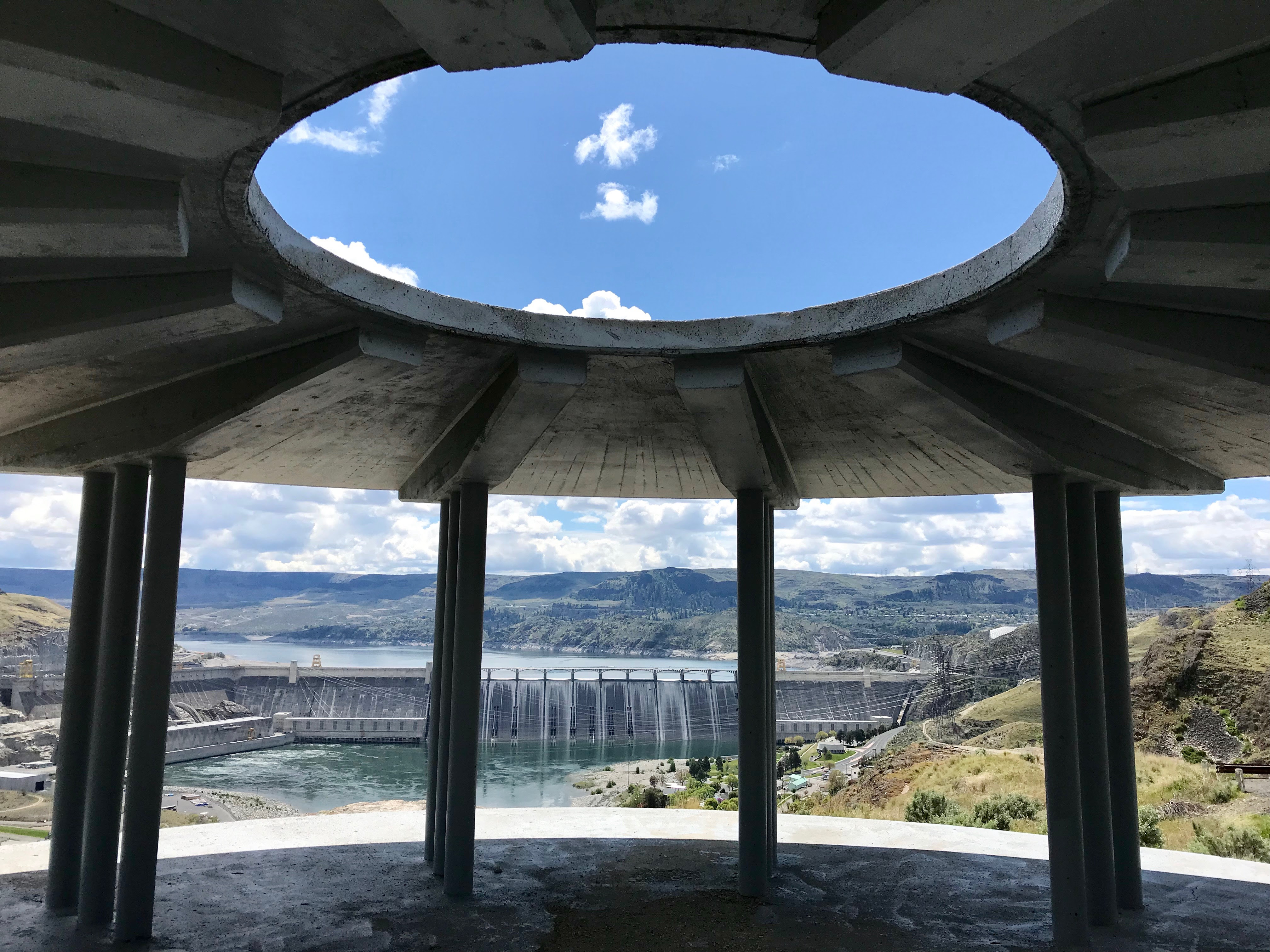
Photo By: Peggy Nevsimal

Overview
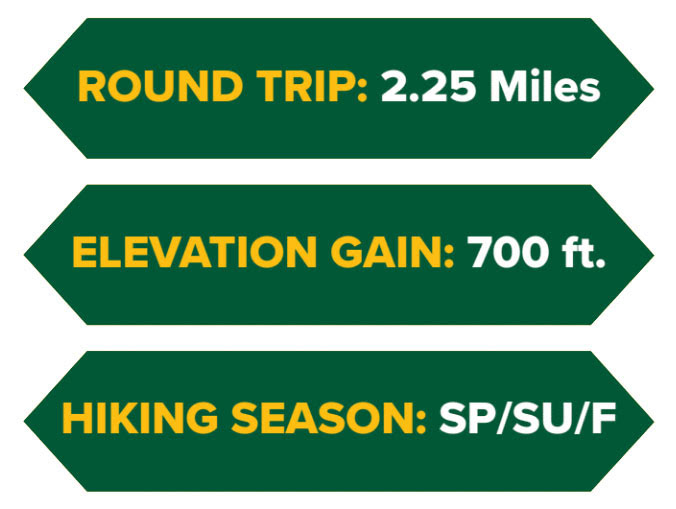
Though the Candy Point Trail is only a 2.25 mile round trip, this unique outing packs a wealth of history, engineering, wildlife biology, jaw-dropping panoramas, and a challenging cardiovascular workout (700’ of elevation gain) into its relatively short length. Once back on level ground, you can round out your day with a walk through Coulee Dam’s quietly shaded historical district and the evening light show at the dam during summer months.
Description
Built by the Civilian Conservation Corps in 1937 and revitalized by the local Rotary Club in 1991, the trail is instantly recognizable as a set of hand-laid stone steps leading sharply uphill from a well maintained lawn. Note the words ‘sharply uphill’ because the trail gains almost 700’ of altitude as it rises through a narrow canyon and up to a distinct promontory which affords great views of the town, the dam and the ‘scablands’ beyond. Signage is excellent and you can make the outing into a 2.25 mile loop by following the trail around to the old railbed and back down to the town hall.
Notes
Those more interested in a water oriented outing should consider the Downriver Trail which provides a 6.5 mile out-and-back on a compacted gravel trail along the east shore of Rufus Woods Lake (the Columbia River). The trail is located just south of Grand Coulee and is appropriate for walking, biking, jogging or strolling the dog. |

Come and enjoy the summer light show! In the month of August, the laser show begins at 9:30 and is free for all visitors.
DRIVING DIRECTIONS
To find the trail head drive north through Grand Coulee on Spokane Way to a merger with WA 155/Midway Avenue which you then follow for 2.1 miles to North Columbia Avenue where you will see the trail head (sign) on the left.

Check out our handy hiking guide:
Grab your own physical or digital copy ~ Adventure awaits in Okanogan Country!
