Hike of the Week | Bridgeport State Park

Bridgeport state park
Bridgeport, WA
 Credit: Jason Wettsein | WDFW
Overview
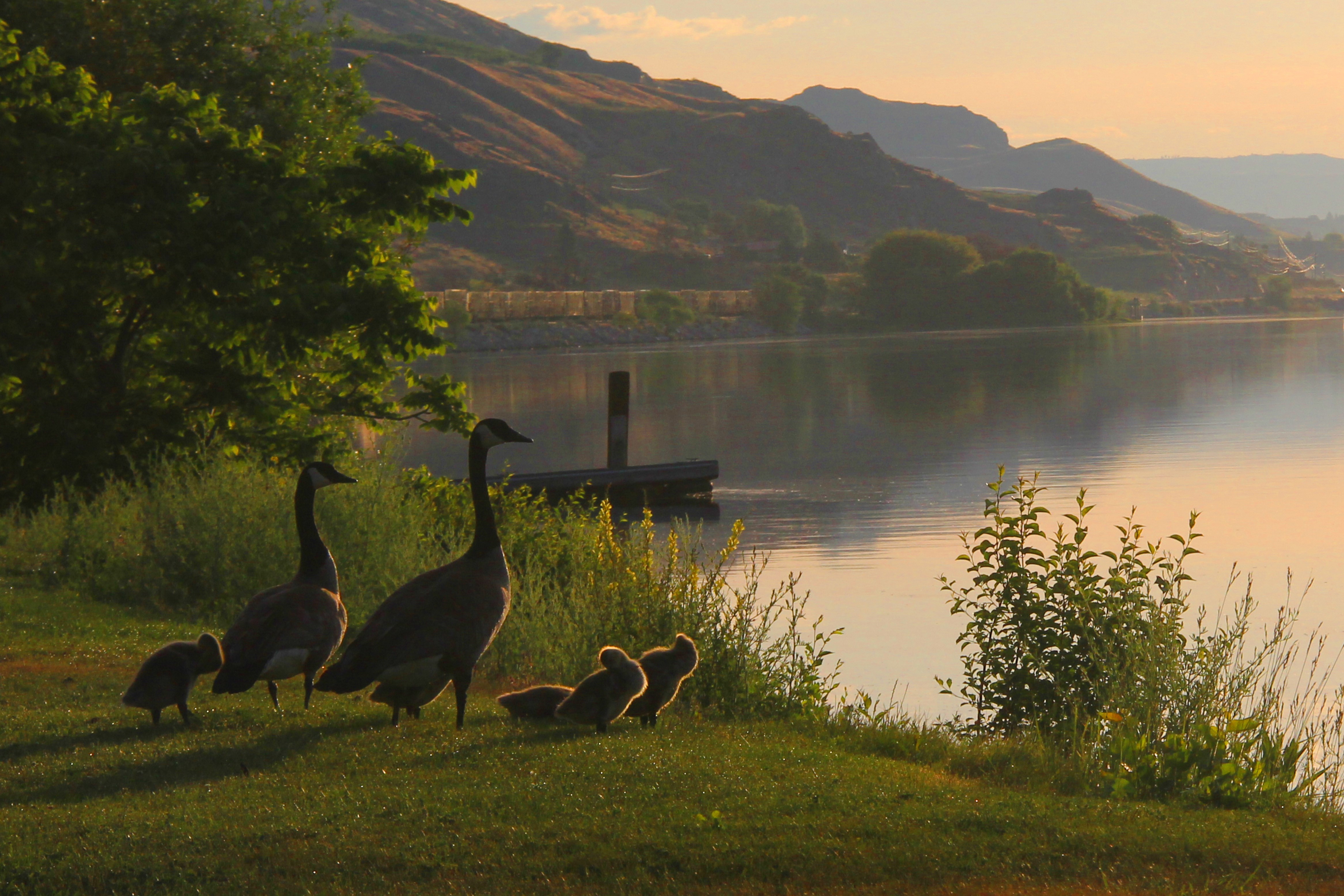
Located in the midst of the area’s high desert terrain this 748-acre park set directly behind Chief Joseph Dam on the Columbia River receives 192 days of sunshine a year which makes its 18 acres of tree-shaded lawn and 7,500’ of shoreline trails all the more appealing. If you still have energy after the hike - there is also fishing, golfing, bicycling, and a kid’s playground! When the weather gets even warmer, there are nice opportunities for swimming and waterskiing, too!
Description
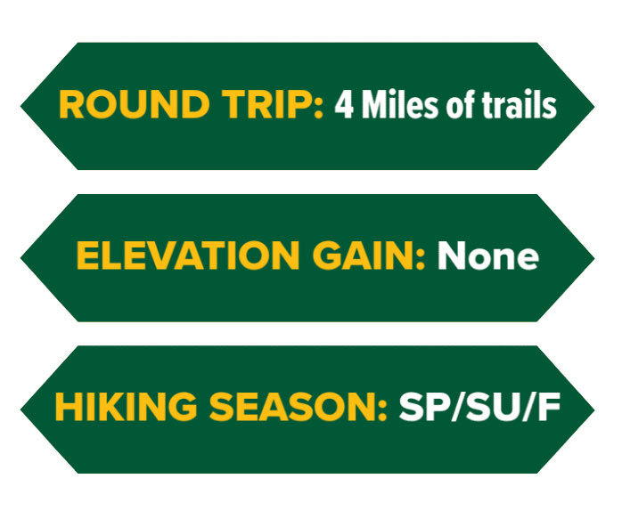
Four miles of mostly easy to moderate hiking trails wind along the stunningly diverse shoreline of Lake Rufus Woods -- which is actually a segment of the Columbia River. No special shoes or equipment are required, though it always makes sense to bring a water bottle, sun hat, and sensible shoes since the footpaths can be bumpy in spots.
Notes
Look for the ‘Haystacks’ (volcanic formations) that are this park’s defining geologic feature.
Also, take advantage of the first-come, first-served camping during this shoulder season!
Driving Directions
Just east of Bridgeport on Highway 17, stay on the northside of the Columbia River and turn uphill towards the imposing Chief Joseph Dam. Follow the signs for Bridgeport State Park. Click the button below for directions from your location through Google Maps!
parking pass
Discovery Pass
 Credit: Jason Wettsein | WDFW

